Jupyter notebook and final results
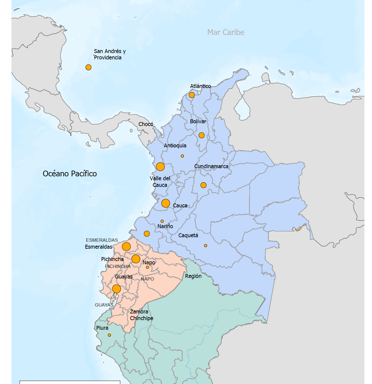
I have received two cartography tasks this year based in Latin America. In both cases, the data were not clean nor tidy, and owing to the multiple data cleaning functions (and online help and resources) within Pandas, I decided to do the wrangling there. Here, I show the final map of selected Latin America’s ONGs.
Here is a link to the Jupyter Notebook I used to do basic inspection, cleaning, and geocoding.